Here are aerial view maps with photos taken in 2014. These are .kmz files, opened by Google Earth; simply click on "Download File" to begin the process. The Google Earth program can be downloaded at no charge at http://www.google.com/earth/download/ge/agree.html. Yellow pins appear on the maps; click on one to see the attached photo or photos and some information about the plant. Use the "plus" symbol on the map to get a closer view as the pins sometimes overlap.
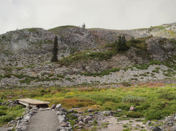
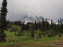
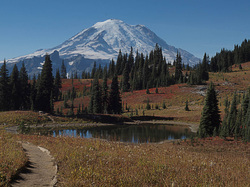
Paradise, following the lower trails up to beyond the river crossing
|
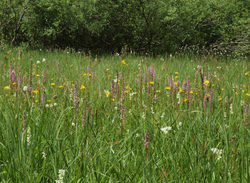
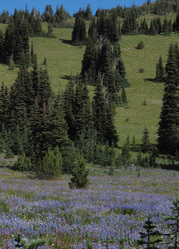
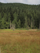
Midsummer at Mountain Meadows
|
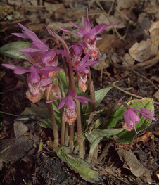
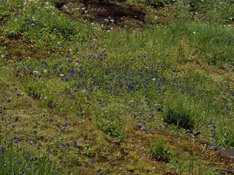
Calypso orchids at Sunshine Point
| ||||||
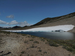
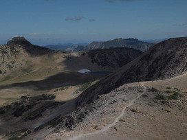
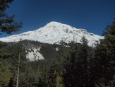
Late summer at Frozen Lake
Sunrise Visitor Center and nearby meadows
|
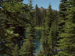
Sunrise Point and Sunrise Lake
Atop the Crystal Mountain ridgeline, with many unique species
|
Frozen Lake and First Burroughs Mountain seen from the trail climbing Second Burroughs, August 2014.
| ||||||||||||
Reflection Lakes, Louise Lake, and the Lakes Trail
|
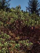
Longmire Meadow in the fall
|
| ||||||||
Westside Road
Longmire Campground
|
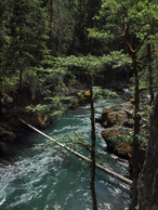
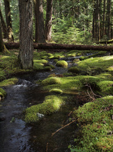
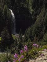
Ohanapecosh and Silver Falls, with a hike up Laughingwater Creek
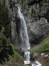
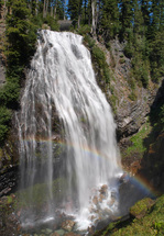
Comet Falls
|
Stevens Canyon
Tipsoo Lake and Naches Loop Trail
| ||||||
|
|
| ||||||
Narada Falls
|
Backbone Ridge
|
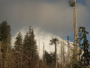
Cayuse Pass area
| ||||||
Highway 123
|
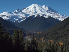
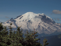
White River valley
|
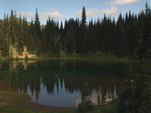
Shadow Lake
| ||||||
Ricksecker Point
|
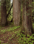
Grove of the Patriarchs
|
Kautz Creek
| ||||||